/ Antonio Fasolato / to cycle to know bike paths e-bike travel by bike
How Dutch cycle paths word: the knoopunten system explained
The Dutch word knooppunt literally means knot, but it is also used to refer to road junctions. The system called the Numbered Junction Network of Dutch Cycle Routes, or their numbered junctions, is a way of cataloguing and classifying cycle routes based on the junctions between knooppunten.
How the system was created and developed
The first numbered network of crossroads was created in 1995 in the Flemish province of Limburg, Belgium, by Hugo Bollen, a former mining engineer who had been rehired by the local tourist office.
Bollen’s idea was to apply to tourism the system of orientation used to unravel the various mine shafts. It was a revolutionary idea that was an immediate success: its use quickly spread to all five provinces of Flanders.
In 1999, the first signal appeared in the Netherlands, in the Dutch province of the same name in the border region of Limburg, and it was not until 2014 that the Netherlands covered the entire country with knooppunten.
The system also gradually spread to northern Germany, the border regions with the Netherlands and Belgium, and some areas in Wallonia, the French province of Belgium.
What needs does this system fulfil?
Basically, it has been created to facilitate orientation in a country where the cycle network is extensive and where toponymy makes it particularly difficult to disentangle village names that are difficult to pronounce and even harder to remember. The system is intuitive: each crossroads is given an identification number and there is a sign showing the area with neighbouring points. In this way, every cyclist can choose his or her own route with great flexibility and without the risk of getting lost.
It is a system that integrates long-distance routes, called LF routes in the Netherlands and Belgium, with junction routes, the network of local routes numbered with the node system.
The aim is to develop all the smaller areas outside the main routes in a capillary way. In fact, these are designed to connect from point “a” to point “b” only the main tourist attractions of the country, leaving a large part of the territory uncovered.
Then there is a third category, the thematic itineraries: daily itineraries that are linked to the previous ones, but have an identifying theme that may be related to a painter (the Van Gogh itinerary), a natural park or a theme that is indicated in the name itself (the mill route, the World War II itinerary, etc…).
Let’s take a closer look at these different types of routes:
- Routes and Long Distance: LF Routes
These are routes of national interest, designed for touring holidays of several days. They link the main cities and areas of the country and are interconnected. The acronym LF stands for ‘Langeafstand Fietsroutes’, which translates as ‘long-distance cycle routes’.
These are often sections of cross-border routes with neighbouring countries. The North Sea Cycle Route (LF1), the Amsterdam-Brussels Cycle Route (LF2) and the Maas Cycle Route (LF3) are linked with Belgium; the Rhine Cycle Route (LF4) and the northern section of the North Sea Cycle Route (LF10) are linked with Germany. In total, there are approximately 3,900 km of mapped and catalogued routes in the Netherlands alone. They are identified by rectangular route signs with the letters LF + the number of the cycle route, combined with the letter ‘a’ if the route runs from north to south or from west to east, or with the letter ‘b’ if the route runs from south to north or from east to west. About 20 long-distance routes have been catalogued, some of which are currently being redefined.
Their length varies from 50 to 400 or more kilometres.
- Thematic routes
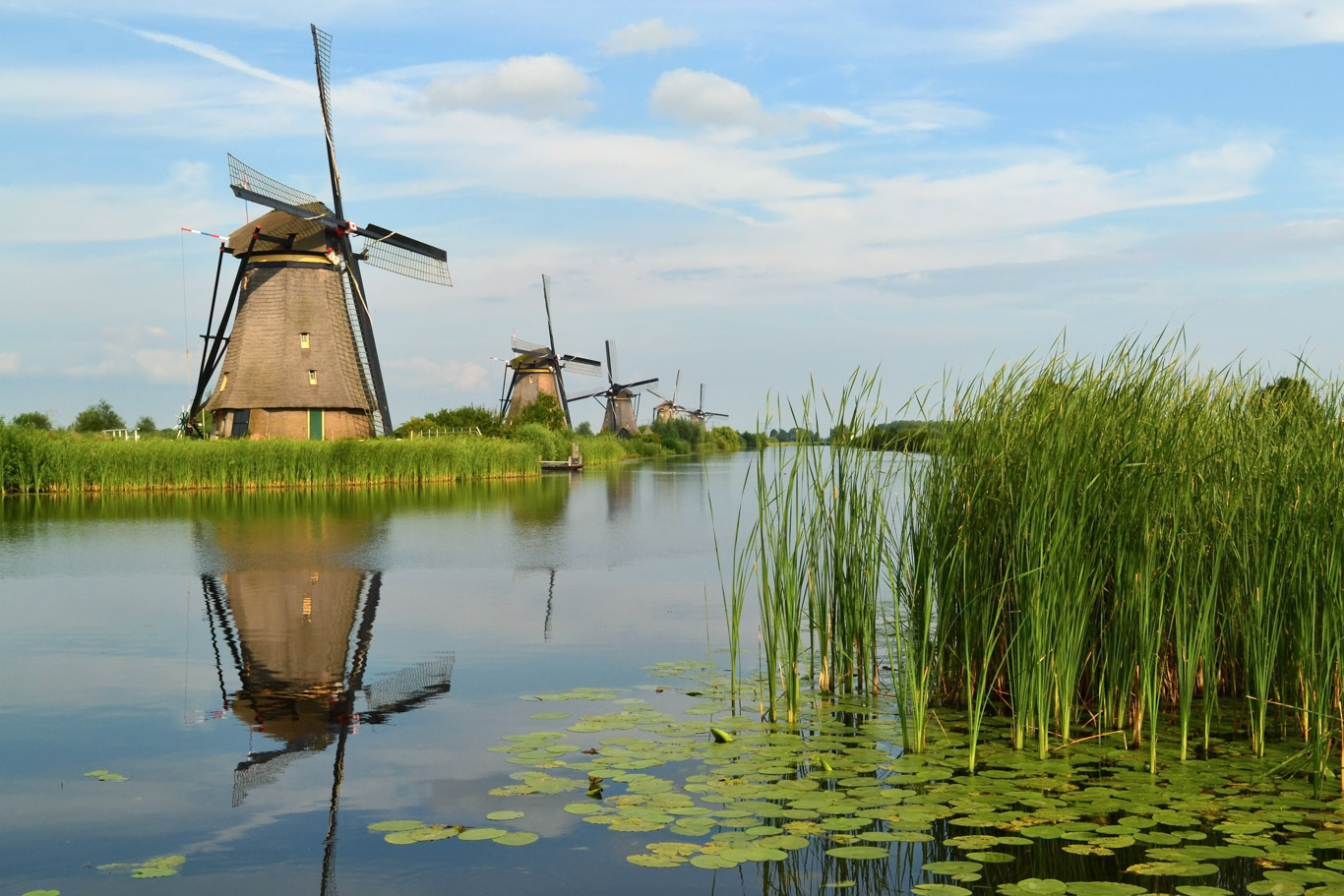
These are daily, interlinked routes, usually 30 to 50 km long, marked by hexagonal signs with the name of the route. The themes can be varied and are easy to guess from their names: Van Gogh route, Liberation route, Molen route, etc. Although there are still many thematic routes with hexagonal signs, their number has gradually decreased with the advent of the numbered crossroads system.
The numbered crossing system
As mentioned in the introduction, the system of ‘nodes’ or numbered junctions covers the entire territory of the Netherlands and Flanders. Each junction between one cycle route and another has an identification number, and at this number there is also a panel with an orientation map showing nearby junctions and indicating the distances in kilometres between one junction and another. At each junction, there is thus a choice between several routes that can be followed.
The routes are designed with tourism in mind: the shortest route to a destination is not necessarily indicated, but the most beautiful. If the cyclist stays within the network, he or she can be sure that these routes have been chosen because they are the most scenic and the safest that the area has to offer.
This network links towns and villages, natural parks and any small area of historical or artistic interest. It is easy to see how this system has a capillary effect on the entire territory, which is not always the case with traditional online routes. In the latter, those who plan routes are always forced to make choices, inevitably favouring some areas and leaving others out.
In the case of the Netherlands and Flanders, countries with a dense network of cycle paths, routes are mainly developed using these arterial roads, but this is not always the case. Where there are no cycle paths in their own lanes, the minor road network is exploited, using roads and country lanes with little traffic. At each crossroads, there are characteristic signs: the orientation sign and directions to the next points.
Then there are the approach signs along the route that warn you when you are approaching the next junction. “U nadert knooppunt” means “you are approaching the junction”.
Flexibility and modularity: strengths of Dutch cycle routes
The system of numbered junctions is particularly suitable for day trips. It meets the needs of a stationary tourist who stays in the same place for several days. Its strength lies in its flexibility and modularity. If you do not want to follow a predetermined route, the numbered crossroads system allows you to design your own itinerary according to your needs and to modify it at any time during the day: are you running late? Is it raining? This system allows you to find the shortest way back. Conversely, do you have a few extra hours? Is it a beautiful day and you want to walk a few extra miles? This is also very easy to do.
Another advantage of the junction system is the complementarity it creates between the national long-distance routes and the network of local routes, transforming the area into a complete cycle-tourism destination able to cater for every type of user, from sports enthusiasts to families with children.
In this way, it is no longer necessary to create a large number of pre-defined routes. These sometimes overlap for long stretches, resulting in a proliferation of information boards and signs, each with its own logo and standards. The advantage of the system of interconnected nodes is that it allows the network of cycle routes to expand like wildfire. One area can easily be extended to neighbouring areas at any time and in any direction. All that is needed is to map and catalogue new nodes by connecting them to existing ones. As is often the case in the Netherlands, junction numbers can be repeated several times without causing interference, as long as they are at a reasonable distance from each other.
How to create your own itinerary among the Dutch cycle routes
Cycling maps
Planning your route before you set off is easy. There are regional cycle touring maps that show the junction system. These maps are generally 1:50,000 scale and are available from all tourist offices, but can also be purchased online in advance. Just follow the sequence of numbers and you are ready to go. You can also find special maps in tourist offices that have been specially designed for this purpose. They are attached to the handlebars of your bike with a plastic holder that also protects them from the rain.
Route planner
The second method of planning is to go to one of the many websites that offer a route planner that allows you to easily design the route according to your needs, analyse the technical characteristics of the route (length, altitude profile, terrain), print the route you have chosen and take it with you, or download it to your mobile phone to view it using one of the special apps.
Here are the steps in order:
- You start by drawing the route. You can connect individual junctions one after the other or select two points that are far apart and the programme will automatically construct the most logical route. The order of the selected junctions and the total distance in kilometres appear in the right-hand bar.
- Points of interest such as accommodation, restaurants, monuments, etc. can be added to the map.
- You can check route information: how many kilometres are on paved roads, dirt roads or cobblestones (in the case of Belgium). You can check the altitude profile and information on points of interest.
- Once the route is finalised, you can save it, download the gpx tracks, get the QR code to view it on your smartphone and share it with others.
Not just for bikers: the walking routes
The numbered crossroads system is also used to map walking routes in the provinces of Flanders, with the same features and functionality.
Conclusions
When Hugo Bollen started working on the knot system, there was a lot of scepticism around him: “Who would want to pedal from one number to another?” they asked. The answer soon came in the form of facts. The system was an unexpected success and spread quickly, winning an award in the Netherlands for the best system for organising cycle routes.
The system never gives you the shortest way, but almost always the best way!
Some web links
Dutch bicycle network promotion portal
Route planner NL
Flanders bicycle route portal
Route planning software developer
Cycling holidays on Dutch cycle paths
If we’ve got you hooked and you can’t wait to try out the Dutch cycle route system, why not try one of the many organised cycle routes in Holland and Belgium: day after day, you’ll cycle along numbered crossings to your accommodation at the end of the stage. We at Girolibero will take care of the transport of your luggage, the provision of your rental bike and the service! Check out the itineraries below or see all the bike trips on the website.
One-week Tulip Tour Bike and Barge guided girolibero.com Amsterdam and the Northern Tour Bike and Barge self-guided girolibero.com Amsterdam and Flanders Bike and Barge guided girolibero.com Amsterdam and Flanders Bike and Barge self-guided girolibero.com Frisian Islands Bike and Barge self-guided girolibero.com Amsterdam and the Southern Tour Bike and Barge self-guided girolibero.com From Amsterdam to Maastricht Bike and Barge guided girolibero.com Holland tulip tour Bike and Barge guided girolibero.com The Heart of Holland Bike and Barge guided girolibero.com Heart of Holland Bike and Barge self-guided girolibero.com10 Travel tips
